NIRD: Road transport flow disruption modelling
The Centre of Excellence was funded by a £4m grant from UKRI in 2023, allowing DAFNI to fund 8 projects researching resilience in the natural and built environment using DAFNI as the high performance platform. The work forms part of the UKRI programme ‘Building a Secure and Resilient World’.

National Infrastructure Resilience Demonstrator (NIRD)
Raghav Pant, Senior Research Associate, and Yue Li, University of Oxford
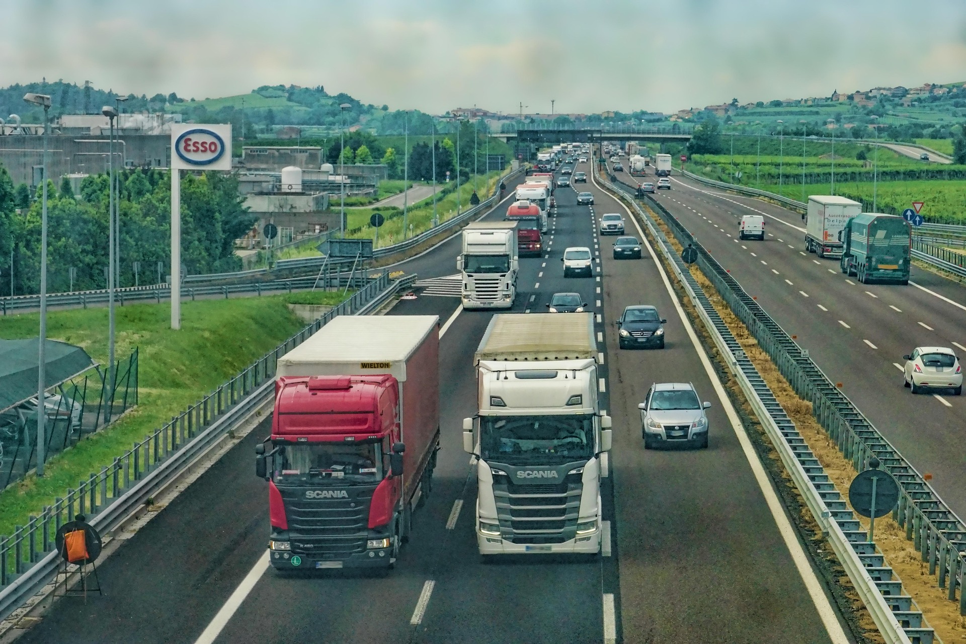
NIRD has built a road transport flow model for flow allocation and disruption at Great Britain (GB) scale. It is a large model with around 12 million allocations of journeys around the road network of GB and is being stress tested with extreme hazard events.
They worked with partner JBA Risk Management, who Raghav describes as a leader in flood hazard modelling in the UK, to develop flood maps for 18 historical flood events for testing, going beyond the scope of the one event that was originally envisaged.
The team are currently finalising stress test results and uploading them to DAFNI, and demonstrating their work through a sample synthetic event representing extreme flooding in the Thames catchment.
A journal paper covering the road model is also in progress, to complete by the end of March.
They have carried out a number of runs of the model on the DAFNI platform, and developed Jupyter notebooks for visualisations of some of the outputs.
The team has presented the NIRD work at a number of conferences, in Amsterdam in 2024, at the Society for Risk Analysis Conference in London, and they have been invited to do presentation at EGU meeting in Vienna in April 2025 – helping to spread the word about the work.
NIRD is part of a UKRI/DEFRA “MACC Hub” (Maximising Adaptation of Climate Change) running from 2024-2027, where NIRD will use DAFNI to integrate their work with the OpenCLIM Project. The road model will integrate future planet and building scenarios with OpenCLIM and examine how future hazards and transport could be affected.
The NIRD team are also involved in the Horizon MIRACA project, examining multi hazards. This will involve expanding the UK road model from the UK to Europe.
They have created a new GB Matrix of data on travel to work patterns into one standardised format and added assets such as bridges onto the Ordnance Survey Open Roads data. The team were able to build a unique model that can calculate traffic flows on a large scale, and also include congestion behaviours. NIRD is calculating the impact of direct damages, plus rerouting effects such as the impact of isolation of local communities and presenting overall risk metrics on direct and indirect impacts.
The team has built the road model and validated it spatially, so that the maps agree spatially on the concentrations, although the NIRD work only involves motorways, A and B roads – not the smaller local roads.
They carried out testing for historical flood events ranging from floods in 1953 to 2024 and estimated the physical costs of damages. They also compared indirect impacts with direct damages because much data from government only covers direct damages and factors in indirect damages as an equal value of direct damages. The NIRD model is more detailed on the indirect damages side, and demonstrates that it is not always a 1-1 split as the government generally reports in its documents.
NIRD has made a GitHub publicly available with the codes uploaded under the DAFNI-NIRD GitHub webpage.
In terms of the vision for NIRD and implementation on DAFNI platform, the team has covered three steps, adding data, adding a model, and creating a workflow, with the final visualisation step still in progress.
Detailed flows and parameters such as origin and destination matrices, capacity of roads, speed, and flow are included in the data. They have also uploaded a sample flood event, cost estimates of roads, vulnerability functions and so on. The team has already implemented a successful model run for this event in terms of direct damages and set up the Docker. Outputs are available as a csv file and DAFNI users can use their own flood event data too.
For future plans, NIRD is planning to integrate with the Urban Development Model (UDM) led by Richard Dawson and Craig Robson at Newcastle University, taking the UDM data and creating data offline, and then uploading it to DAFNI to create further journey patterns. They are also looking at integrating the two models to speak to each other in terms of the data.
University of Oxford’s Professor Jim Hall, who is a Co-I on NIRD is also in discussions with the national spatial data set team of the Ministry of Housing, Communities and Local Government (MHCLG) which will continue work beyond this project. Recently the NIRD team, led by Prof Hall, won an Impact Acceleration Account (IAA) at Oxford University to work with the MHCLG on exploring the development of the national road model to understanding future planning and its impacts of road flow patterns.