 Case studies
SOFRAMODE: powering flood mitigation measures in the UK and overseas
Introduction
Town planners, academics and policymakers can now use the CityCat hydrodynamic model to better understand surface water flooding and high-profile storm overflow events and plan detailed mitigation measures related to any town or city, in the UK or overseas.
The SOFRAMODE (Sewer Overflow Flood Risk Analysis MOdel DAFNI Enabled) project took the existing CityCat model and developed it. Testament to CityCat’s success is that it is already being used in a high profile Newcastle City Council project termed ‘Blue Green Newcastle’. The programme aims to use “innovative flood and water management techniques that make [the city] more resilient to climate change”.
Darren Varley, Flood Risk Manager at Newcastle City Council, explains,
“CityCat has generated significant cost savings in the Blue Green Newcastle (BGN) project by giving the Council a range of Sustainable Drainage Solutions (SuDS) , optimised for cost and effectiveness, from the thousands of catchment wide opportunity areas. The alternative would have been to run model options in series, which would be much slower and less detailed, given that there would be a much lower limit to the number of model runs that could realistically be undertaken. The BGN project team estimates that the savings on the project from using CityCat are in the range of £100k – £200k.”
He adds,
“Any flood resilience project that takes a catchment-wide approach to flood modelling would benefit from CityCat in terms of time and cost savings as well as optimised solutions.” (Quote received July 2026)
What would you identify as the main impact of this work?
“The new version of the CityCat model developed in SOFRAMODE is completely refreshed and includes a new optimisation framework. Users can now choose their domain, for example a city, and a range of interventions such as ponds, green roofs and permeable pavements. The model will then find the best solution for you. We are now working towards making it user friendly for non-expert users in industry and local government,” Dr Vassilis Glenis.
Key challenges that SOFRAMODE aims to solve
With climate change and increasing urbanisation comes the promise of higher frequency and greater severity of urban flooding and storm overflow events.
When mapping a large area such as a UK city, it is extremely difficult for planners to ascertain which techniques should be best utilised, and where.
Adding another layer of complexity to the efficacy of the flood mitigation measures is that of the considerable budgets required for such measures, and the challenge of running scenarios around how best to alleviate flooding at reasonable cost.
What was the key aim of the project?
The SOFRAMODE project took the existing CityCat hydrodynamic model developed by Vassilis previously and already deployed within the OpenCLIM project via DAFNI. The new project developed CityCat further into an accessible tool to model current and future rainfall and mitigation measures.
The project sought to allow researchers and non-expert users in industry and local government to design and test mitigation strategies for storm overflow spills and surface water flooding in detail, for cities across the UK and overseas.
Modelling a large domain such as a city at the level of detail that the team wanted requires high resolution data to capture all the intervention options and represent them properly.
“With the updated CityCat model, we built a very sophisticated optimisation algorithm to enable detailed planning for vast areas such as cities. Thanks to the DAFNI funding, we were able to develop a number of iterations to the model. Optimisations that once took 3 weeks now take just 3 or 4 days, and the model is able to find much better solutions than even skilled planners. CityCat is now so sophisticated that it can take a budget of £40m (for example) and demonstrate how to achieve the same mitigation result with half the budget,” Dr Vassilis Glenis.
Within SOFRAMODE, the team sought to improve and extend the functionality of the model to go beyond its original relatively simple simulations. With the updated version of CityCat, users can run scenarios at city level to test multiple different mitigation strategies and reducing combined sewer overflows.
What did DAFNI (Data Analytics Facility for National Infrastructure) allow you to that you couldn’t have achieved otherwise?
CityCat was one of the first models to be deployed on the DAFNI when the platform went live around 5 years ago, with its work at that time centring on a flood event impact in central Glasgow.
In 2021, the model was used to research surface water flooding as an important part of the UK Climate Resilience Programme funded project called Open Climate Impact Framework (OpenCLIM). DAFNI made it possible to run large national datasets on the platform and to run simulations using many combinations of input parameters to look at multiple future climate scenarios, for example.
As demonstrated in the OpenCLIM project, DAFNI allowed researchers to combine multiple different models in a chain, with the outputs of one being used as inputs to the next: UDM (Urban Development Model), SHETRAN (a hydrological model) and CityCat, to produce coherent estimates of future impacts.
Importantly, DAFNI also ensured reproducibility of results, ensuring its use for future research.
Through SOFRAMODE, the team has made several important enhancements to CityCat over three new iterations of the model. It now runs far faster than previously, allows more detailed findings at city level, and includes features such as optimisation of blue green infrastructure.
What outputs from the project have you put onto the DAFNI platform?
The CityCat model and code, plus optimisation are available on the DAFNI platform.
Scenarios encompass current and future rainfall event magnitudes, and provide functionality for consultants and industry, as well as researchers, to design and test a range of strategies to mitigate storm overflow spills and surface water flooding.
Users can use CityCat to:
- Assess the effectiveness of blue-green mitigation features, from woodlands to ponds.
- Optimise blue green infrastructure to capitalise and build on natural land, plant and water features using a Genetic Algorithm tool to optimise their location to allow more users, including communities and local authorities, to rapidly assess flood and Storm Overflow risk and test a range of scenario-based affordable management portfolios.
- Better visualise and use the (surface and pipe) drainage network for model set up and analysis of results.
- Flexibly explore scenarios using a wide range of rainfall events and design constraints.
How do you anticipate other researchers, policymakers and stakeholders using this work?
Use of SOFRAMODE outputs by others has already begun!
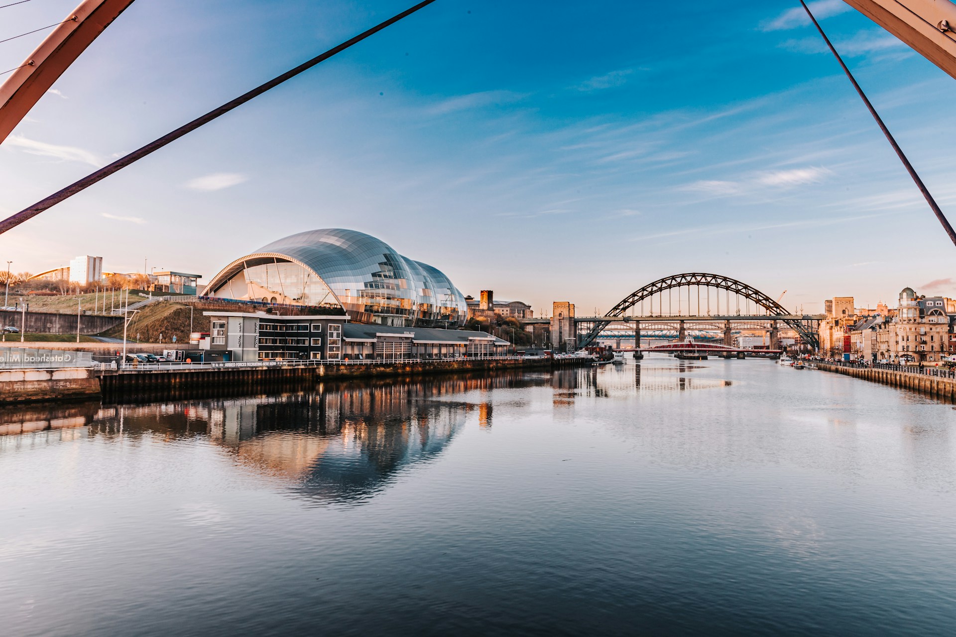
As well as its use by OpenCLIM, CityCat is now part of a very significant project led by the City Council: ‘Blue Green Newcastle’, where the city has around £60m to invest in blue green features in Newcastle, to reduce flooding using more natural mitigation measures.
Newcastle has been hard hit by flooding over decades, with surface water runoff following heavy rains the main culprit. The 2012 ‘Thunder Thursday’ episode was particularly devastating for the city, with an estimated two weeks of rain falling in one hour. The ‘super cell thunderstorm’ caused mass flooding, public transport was cancelled and roads at gridlock, damages to infrastructure, and power outages affecting over 20,000 homes. The repair bill was estimated at between £34m and £50m.
Flooding continues to affect properties, services and utilities in Newcastle, caused by a combination of changing climatic conditions, river flooding, surface water run-off, sewer overflows and the city’s own geographic features.
SOFRAMODE’s Vassilis Glenis has been asked to sit on the Blue Green Newcastle board, allowing lead contractor Arup and the City Council to draw on his expertise in flooding. Vassilis will work alongside the council’s Flood Risk Manager, Darren Varley, to use the CityCat model to identify which interventions and mitigations will be most suitable for the project.
The SOFRAMODE team is also working with Northumbria Water to use CityCat to identify how to better manage and mitigate sewer storm overflows.
Next steps
The team are close to submission of a paper on the development and validation of the optimisation tool they have developed. The in-depth technical paper focuses on the theory, algorithms and code and totals 50 pages. It is aimed at mathematicians, software developers and engineers, and was submitted in April 2025 to the journal Environmental Modelling and Software.
A second paper focusing on applications of SOFRAMODE is being written for Journal of Hydrology, aimed more at an audience of consultants and researchers.
A third paper is also planned.
Who’s involved
The SOFRAMODE (Sewer Overflow Flood Risk Analysis MOdel DAFNI Enabled) urban drainage project is led by Principal Investigator Dr Vassilis Glenis, Senior Lecturer in Hydroinformatics in the School of Engineering at Newcastle University, with Co-Investigators Dr Claire Walsh, Professor of Water Security and Chris Kilsby (former Professor of Hydrology and Climate Change), plus Researcher, Dr James McKenna, Research Associate in Hydrodynamic Modelling, all from Newcastle University.
When did the project start and finish?
The project ran from June 2023 and is scheduled to complete in July 2025.