 Case studies
STORMS DINI: data sharing to enhance buried infrastructure with DAFNI
Introduction
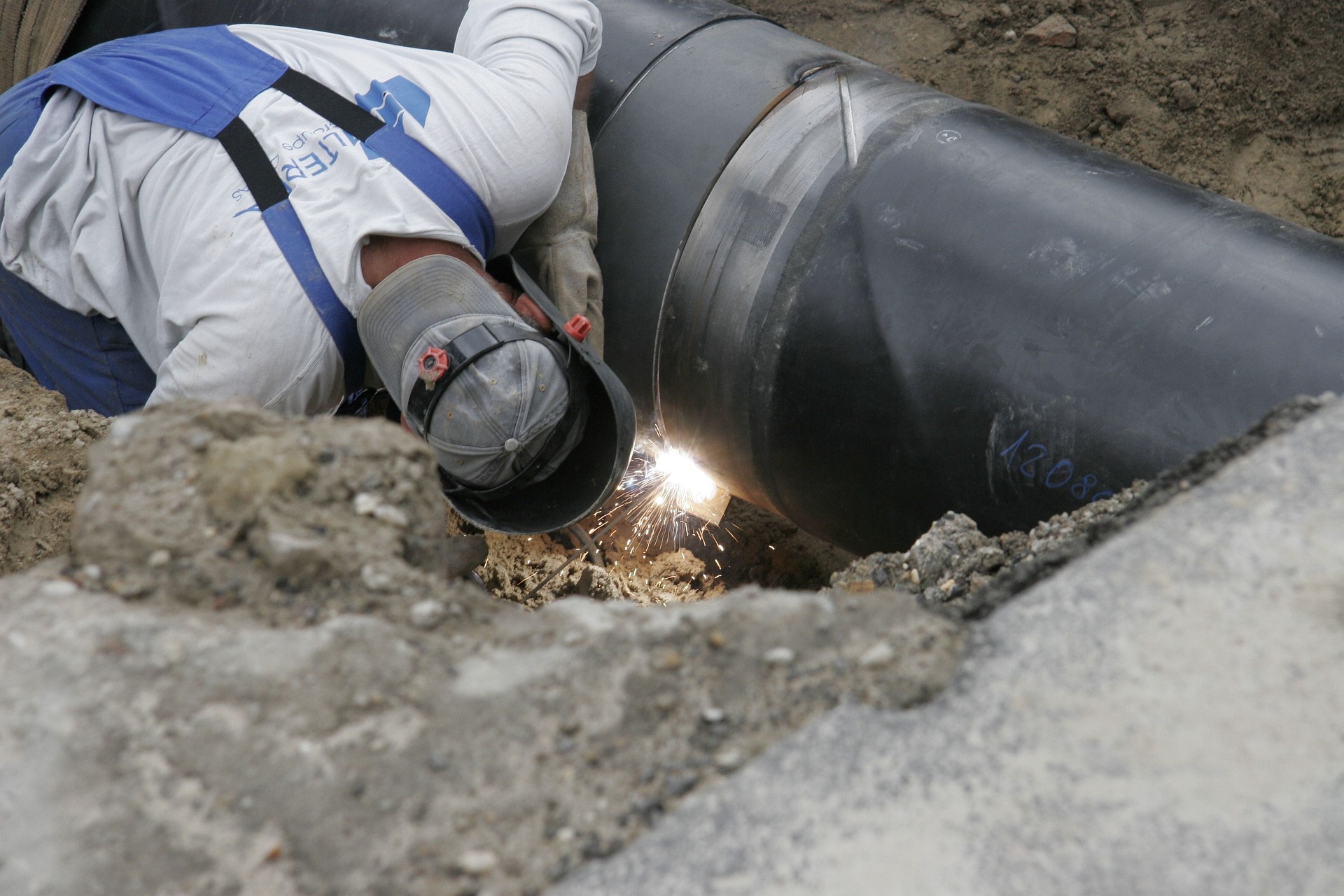
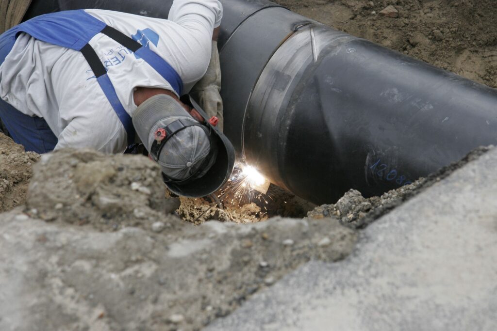
The STORMS project (Strategies and Tools for Resilience of Buried Infrastructure to Meteorological Shocks), funded through the DAFNI Centre of Excellence for Resilient Infrastructure Analysis, set out to develop the first comprehensive weather-related risk assessment framework for buried infrastructure. The project sought to quantify the impacts of climate scenarios under current and future conditions.
Through DAFNI funding, the multi-disciplinary project combined experts from the University of Birmingham, the UK Centre for Ecology & Hydrology (UKCEH), and the British Geological Survey (BGS). The project combined environmental modelling with infrastructure risk analysis to better understand how climate-driven hazards affect buried assets such as pipelines.
A project extension through DAFNI-DINI (Data Infrastructure for National Infrastructure) focused on the critical challenge of integrating climate, hydrological, geological and infrastructure asset datasets that are held across multiple organisations.
To explore this, the STORMS team organised online workshops. In the first, a prototype climate risk assessment model was demonstrated to Line Search Before You Dig (LSBUD) and Cadent Gas. The second presented model outputs to LSBUD, Cadent Gas and National Grid. These sessions enabled stakeholders to identify practical routes for sharing private datasets and helped the team understand key barriers to data sharing and collaboration.
What would you identify as the main impact of this work?
A key outcome of the project was demonstrating the value of an end-to-end workflow for engaging stakeholders and building trust. The STORMS demonstrator allows users to run the model using open, proxy, or proprietary data, offering flexibility while showcasing the
benefits of collaboration.
“The DAFNI platform has been essential for us to implement the end-to-end demonstrator which presents the entire process — from data input to insights. It enhances transparency and helps to build confidence among stakeholders,” explains Dr Xilin Xia, Associate Professor in Resilience Engineering, University of Birmingham.
Aligning the project’s approach with stakeholder priorities was critical. Utility companies, for example, are primarily concerned with operational needs such as maintenance and risk mitigation. Addressing these priorities, alongside ensuring robust data security and responsible data use, proved essential in securing engagement.
The project took a twin-track approach: combining advanced environmental modelling and risk assessment with the DAFNI platform, which enables secure data sharing and transparent workflows.
“DAFNI provides a secure environment where workflows are visible, allowing stakeholders to trace the methodology and better understand how decisions are derived,” says Dr Xia. “This visibility has been instrumental in reinforcing stakeholder trust and engagement, ultimately leading to data provision that supports further model
development.”
Key challenges to data sharing
Engagement with stakeholders highlighted several persistent barriers to effective data sharing.
Utility companies, as primary data owners, face significant challenges due to the critical and sensitive nature of their operations. Concerns include the risk of exposing confidential infrastructure data, regulatory obligations, and maintaining customer trust.
At the same time, organisations differ in how they manage and license data. Both UKCEH and BGS use a range of open and commercial licensing arrangements, with access conditions varying by dataset, intended use and delivery requirements. These differences can make
flexible or on-demand access less straightforward for users.
The resulting variation in data formats, access arrangements and licensing conditions contributes to a fragmented data ecosystem, making integration and collaborative modelling more difficult. Addressing these challenges requires technical and organisational solutions, together with closer alignment between stakeholder priorities.
What was the key aim of the project?
The STORMS-DINI extension focused on identifying practical strategies to overcome data sharing barriers in the buried infrastructure sector, drawing on insights gained from the pilot project. Several approaches emerged as particularly effective.
Build a demonstrator
The project used DAFNI to create visualisations that clearly demonstrate how shared datasets can generate actionable insights, such as identifying climate adaptation strategies.
Stakeholders can trial the model using their own datasets within a secure environment. Open datasets, including those from National Gas, were used as a starting point to showcase the platform’s capabilities and establish early engagement.
Aggregate data
Aggregating data to remove sensitive information provides a practical route to wider sharing.
Releasing data under the Open Government Licence (OGL), where appropriate, offers a balance between usability and security, enabling the team to extend use cases and validate the model without compromising confidentiality.
Improve funding models for data sharing
The project identified a need for clearer and more transparent approaches to supporting data provision, including funding streams for maintenance and updates. Aligning with UK Government initiatives, such as those led by the Geospatial Commission, could provide a
pathway towards more open and accessible data ecosystems.
What did DAFNI allow you to do that you couldn’t have
achieved otherwise?
DAFNI provided the technical infrastructure and institutional credibility needed to progress the project.
With support from STFC and the DAFNI team, the project was able to integrate complex datasets and develop a functioning end-to-end workflow. The DAFNI platform enabled the implementation of a risk assessment process in which datasets such as UKCP18 soil moisture
data and BGS geological data are combined to generate spatial risk outputs.
These outputs, produced as shapefiles, map the distribution of climate risk across pipeline networks. This spatial integration supports decision-making by enabling stakeholders to visualise risk and prioritise interventions under changing environmental conditions.
Equally important was the role of DAFNI as a trusted, UKRI-backed platform. This affiliation helped to initiate conversations with industry and encouraged engagement on sensitive topics such as data sharing. Community events, including the DAFNI conference, further
supported knowledge exchange and strengthened the research community.
The main outputs from STORMS-DINI available on DAFNI are:
The primary output from STORMS is an end-to-end risk assessment workflow implemented on the DAFNI platform. This integrates datasets including UKCP18 soil moisture projections and British Geological Survey (BGS) geological data.
Within the platform, these datasets are combined to generate spatial risk scores across pipeline networks. The outputs are produced as shapefiles, enabling the visualisation of how climate-related risks are distributed geographically.
This spatially integrated approach provides a practical decision-support tool. It allows stakeholders to identify high-risk areas, prioritise interventions, and better understand how buried infrastructure may be affected under different climate scenarios.
How could this work benefit society as a whole?
Buried infrastructure, particularly pipelines, plays a critical role in national energy and utility systems. Understanding climate-related risks to these assets is essential for maintaining resilience.
There is growing interest in repurposing existing infrastructure to transport hydrogen as part of the transition to net zero. Improving the ability to assess risk under future climate scenarios is therefore not only a matter of infrastructure management but also a key enabler of wider decarbonisation goals.
How do you anticipate other researchers, policymakers and
stakeholders using this work?
The STORMS-DINI project has already stimulated interest across academia and industry.
Participation in the Climate Resilience Demonstrator (CReDo) academic engagement event, organised by Connected Places Catapult, enabled the team to identify opportunities for collaboration. The demonstrator has also been showcased to the Humber Industrial Cluster
funded through the UKRI Industrial Decarbonisation Challenge, highlighting its relevance to major government initiatives.
Initial data sharing between project partners (UKCEH, BGS, and the University of Birmingham), alongside the use of open datasets, has enabled the development of a fully functioning demonstrator. This has helped to illustrate the benefits of collaboration and unlocked new stakeholder interest.
The future
The STORMS-DINI project has identified several priorities for future development.
One key area is the development of application programming interfaces (APIs) that allow stakeholders to access data securely without relinquishing control. For example, integrating with systems, such as NUAR, could enable users to interrogate workflows while maintaining ownership of sensitive datasets.
In parallel, the integration of advanced analytical techniques, including AI and machine learning, could enhance modelling accuracy and provide deeper insight into climate and environmental risks.
Who’s involved?
University of Birmingham:
Dr Xilin Xia, Associate Professor in Resilience Engineering.
Nikolaos Reppas, Research Fellow (now Assistant Professor at the University of Warwick);
Ali Mashhadi, PhD researcher; Phatharaphong Yensri, Researcher; Dr Qian Li, Research Fellow (Civil Engineering);
Soroosh Sharifi, Associate Professor in Water Engineering; Professor Asaad Faramarzi, Professor of Civil and Geotechnical Engineering; Nicole Metje, Professor of Infrastructure Monitoring; David Hannah, Professor of Hydrology.
UK Centre for Ecology & Hydrology:
Steven Cole, Head of Hydrological Forecasting & Digital Systems; Robert Moore, Principal Hydrologist; Adam Rich-Griffin, Flood Estimation Team Leader; Alison Kay; Steven Wells, Hydrological Modellers.
British Geological Survey:
Dr Andrew Hughes, Principal Groundwater Modeller; Javid Yousaf, Spatial Application Developer
When did the project start and finish?
The project ran from September 2023 to March 2025.